NextGen City Surveying Solutions
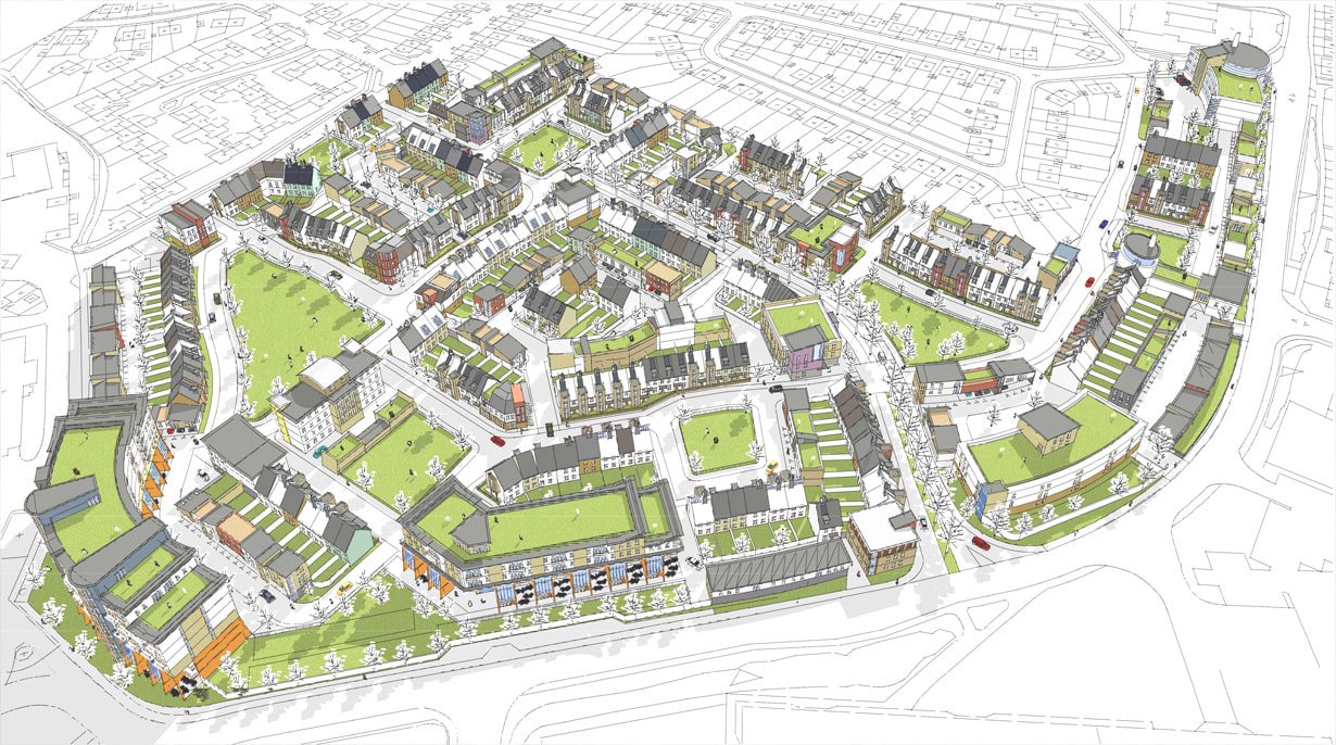
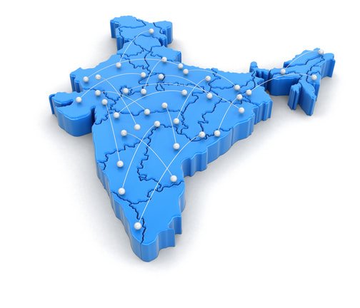
Mobile LiDAR, Drone Photogrammetry and DGPS RTK survey come together to support smart city initiatives, water and sewage line management, cable infrastructure mapping, asset tracking, and urban development projects across India.
A Fleet Built for Urban Surveying
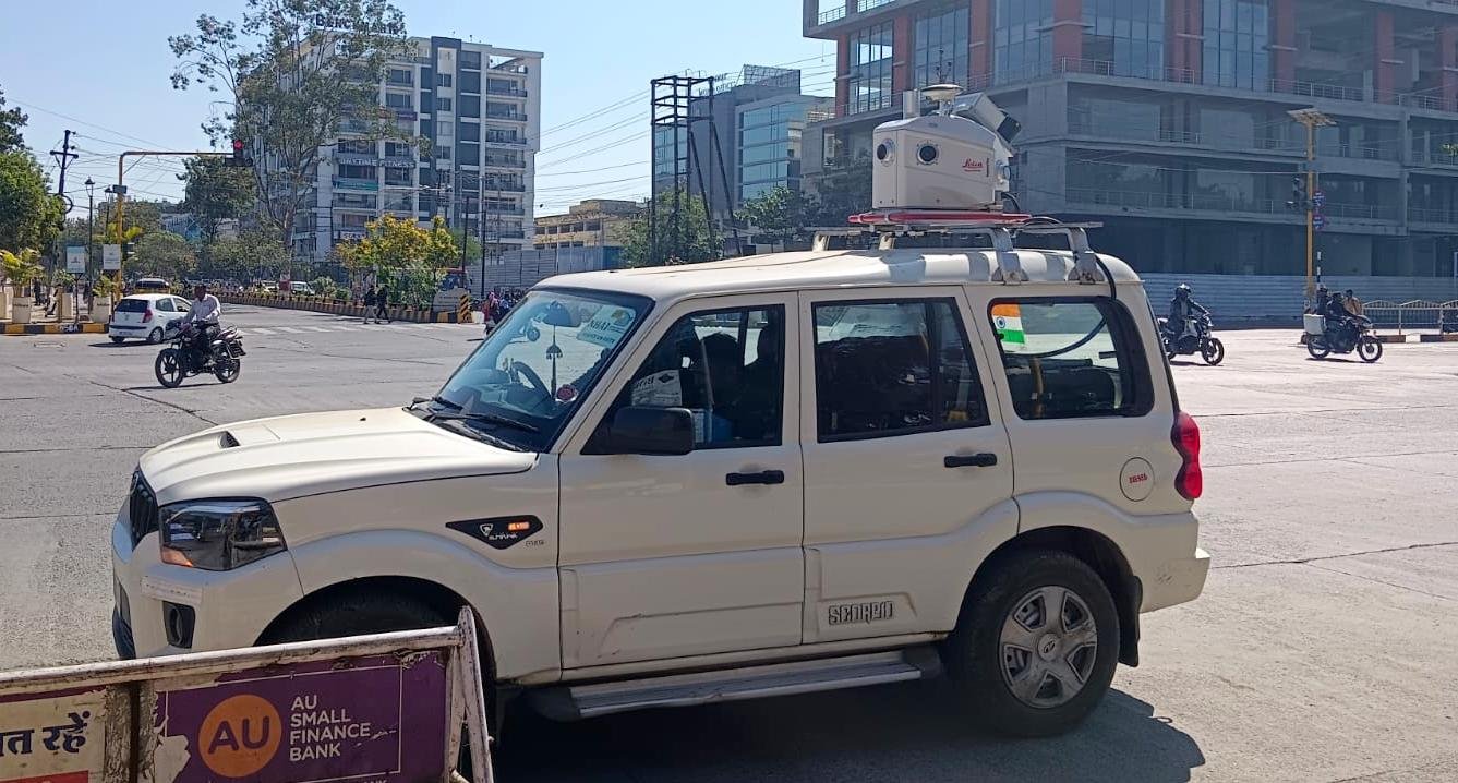
Mobile LiDAR & 360° Imaging
Our mobile LiDAR platform captures millions of data points per second alongside 360° imagery, producing dense, accurate 3D point clouds that make an entire city corridor easy to document and understand.
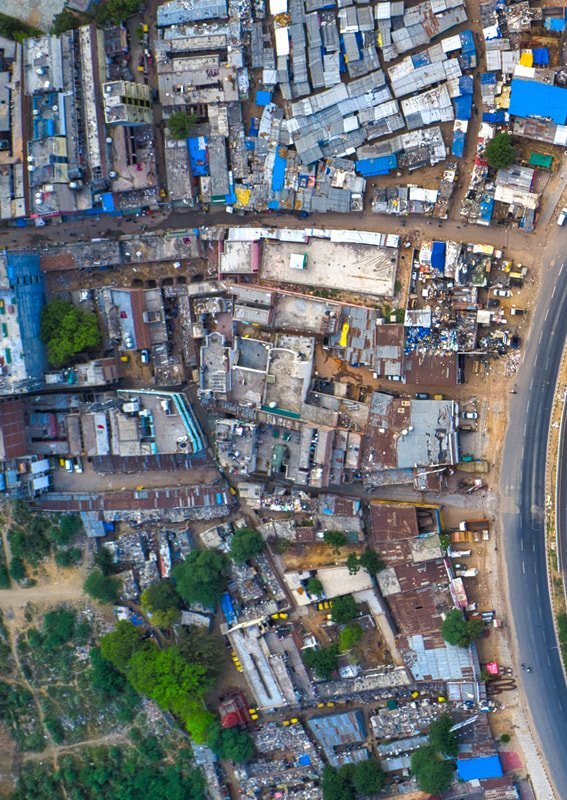
Drone Photogrammetry Survey
High-resolution drone imagery is processed into precise 3D models and orthophotos of a city's terrain, structures and infrastructure — valuable input for urban development and asset mapping work.
DGPS RTK Survey
Real-time kinematic DGPS delivers centimeter-level accuracy on the spot, supporting detailed mapping, geodetic control and construction layout for smart city initiatives.
Where Our City Surveys Help
Smart Cities
Data-driven insights for traffic management, public safety and environmental monitoring, supporting a more sustainable city.
Water & Sewage Lines
Accurate mapping of pipeline networks to help detect leaks, assess condition and plan maintenance more efficiently.
Cable Infrastructure Mapping
Survey and management of cable networks to improve service delivery and reliability.
Asset Mapping
Comprehensive inventories of city assets — streetlights, signage and other infrastructure — for streamlined, cost-effective maintenance.
Urban Development Projects
Survey-grade data to plan and execute construction projects precisely, supporting regulatory compliance and risk mitigation.
From Consultation to Delivery
Project Consultation
We work with you to understand your surveying needs and project goals before mobilizing.
Data Collection
Mobile LiDAR, Drone Photogrammetry and DGPS RTK survey capture every detail of the city corridor.
Data Processing & Analysis
The collected data is processed into accurate 3D models and actionable insights.
Reporting & Delivery
Comprehensive reports, interactive maps and 3D visualizations support decision-making and project planning.
City Surveys Delivered
Mobile LiDAR
- Chennai City Road for CMWSSB400 kms
- Sriganganagar, Rajasthan for L&T-ECC600 kms
- AWD Area of Tiruchirappalli City for TWIC100 kms
- Tirupati Smart City100 kms
- Selected Road in Bangalore City200 kms
- Coimbatore City Roads120 kms
- Shimla City
RTK/PPK Photogrammetry Drone
- Addu City, Maldives400 kms
- Various Beaches at Andaman & Nicobar Islands7 Sq Kms
- Ernakulam & Cochin City Survey2 Sq Km
- Kovalam Beach, Trivandrum2 Sq Km
Ready to explore your smart city vision?
Talk to us about transforming it into a resilient, connected, sustainable urban future.