Engineering Surveying using Total Stations & DGPS
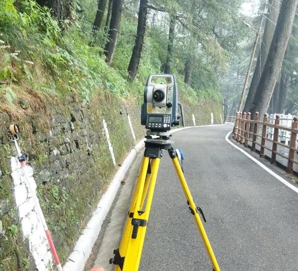
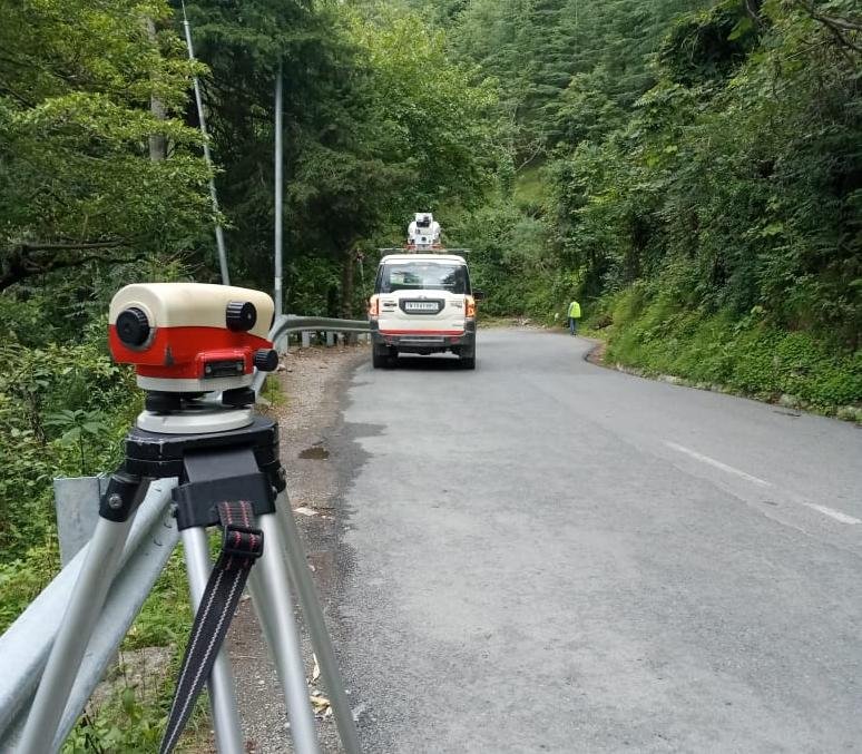
Ground-truth engineering survey work on civil projects — Total Station, DGPS and Auto Level instruments in the hands of surveyors who establish the control network, capture every feature, and hand over documentation your design team can build on.
From Control Points to As-Built Documentation
Every engineering survey we run starts the same way: a network of control points laid out around the site, in a position agreed with the project engineers and site supervisors beforehand — accessible and safe to work around, but placed where they will not be disturbed once construction begins.
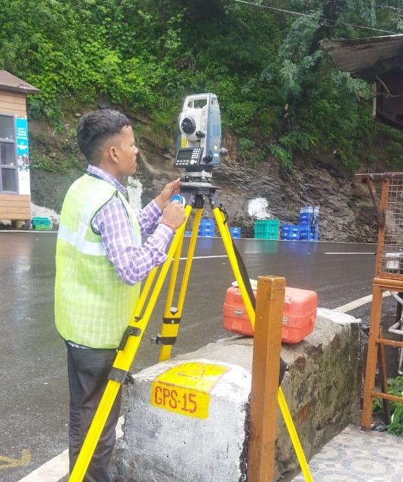
From those control points, our surveyors work through the site methodically, measuring every feature, levelling at the required interval, sketching as they go and logging culvert and bridge inventory alongside it. Every observation is stored against a unique ID with its X, Y, Z and feature code, so nothing gets lost between the field and the office.
Back in the office, that raw data is processed, checked and turned into finished documentation — drawings, spreadsheets and word reports your design team can act on directly.
Centimetre-Level Positioning
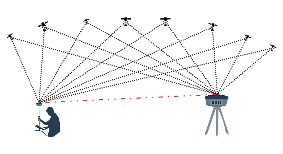
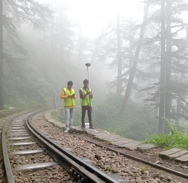
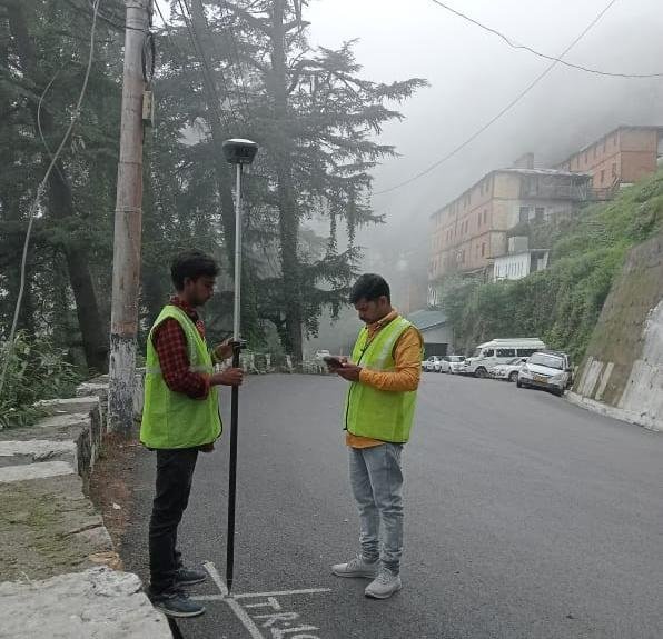
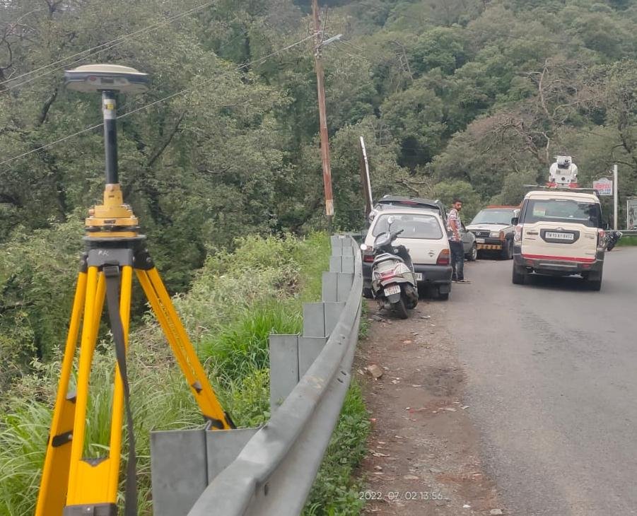
Differential GPS fixes the precise position of an unknown point by relating it back to a known one, via a baseline drawn between the two antennas. Because most GPS errors affect paired receivers almost identically, those errors largely cancel out once the data is post-processed — leaving a far more precise position than a single receiver could give on its own.
Where the project calls for it, that same correction can happen live, in the field, through Real-Time Kinematic (RTK) surveying rather than waiting for post-processing back at the office.
Need control points and a topographic survey?
Get a Free QuoteWhat a Topographic Survey Covers
The objective is simple: determine the X, Y and Z position of every ground feature against a defined reference system, so the resulting digital terrain model can support strip planning, design, rehabilitation and up-gradation work.
Field of Application
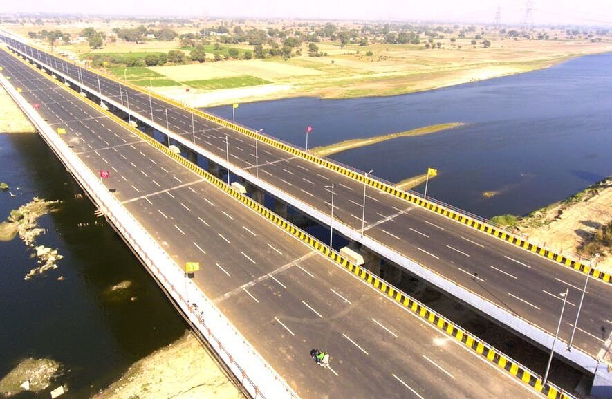
Bridges, Underpasses & Flyovers
Structural and approach survey for new-build and maintenance projects.
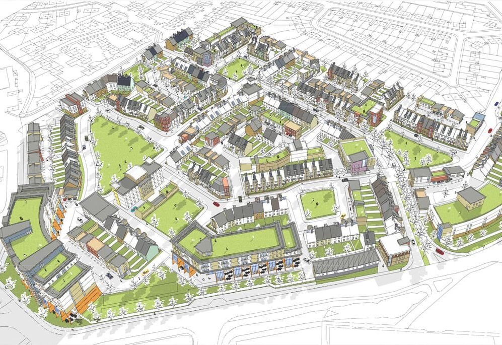
Urban Development & Smart Cities
Topographic base mapping for planning and city infrastructure projects.
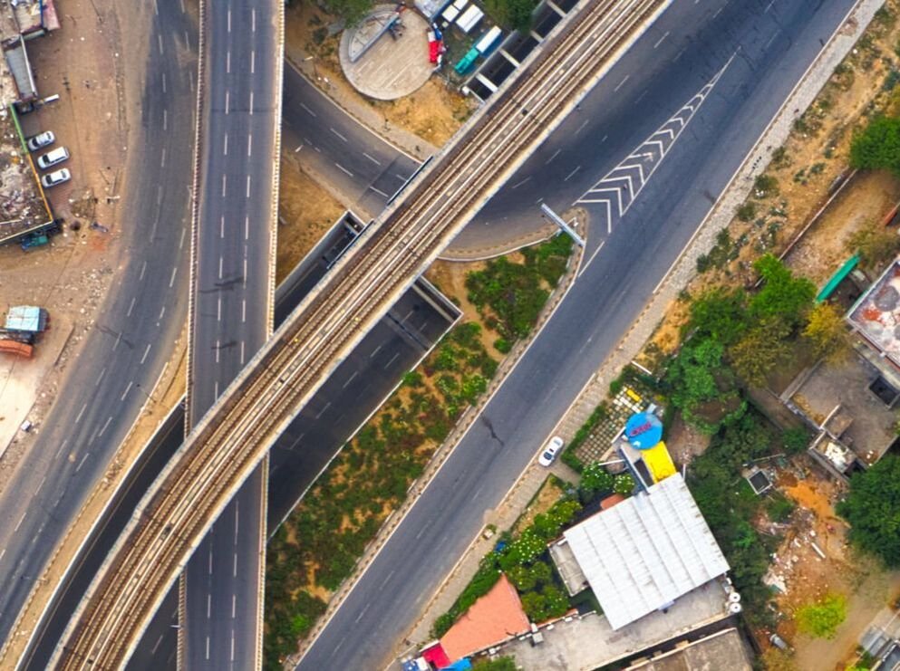
Metro Rail & High-Speed Rail
Final location survey for metro and high-speed rail corridors.
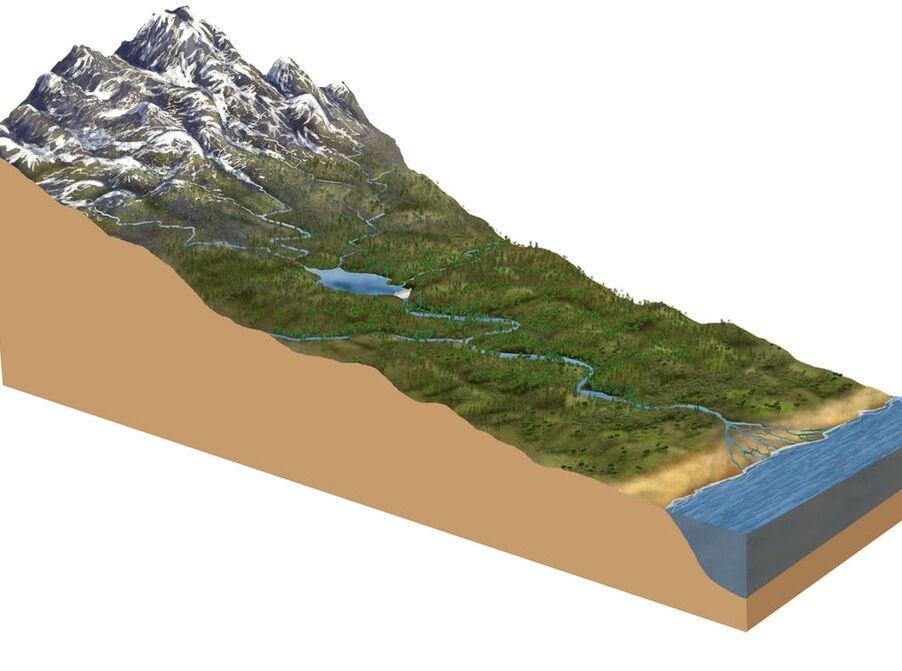
Irrigation, Dams & Rivers
Topographic and hydrographic survey across irrigation and river systems.
Highways & Expressways
Control point and topographic survey for proposed and existing road projects.
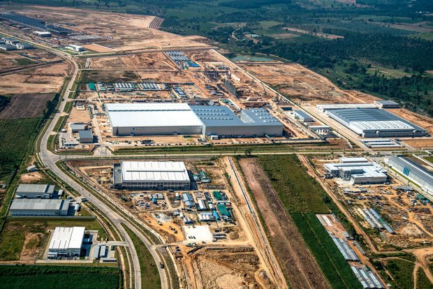
Ports, Airports & Industrial Land
Boundary and topographic survey for major infrastructure land parcels.
Technology We Work With
DGPS
- Trimble Spectra SP85
- Spectra Precision SP80
- Leica GS08 Plus
- Leica GPS 1200
- Tersus Oscar Ultimate
Total Station
- Sokkia C15 ETS
- Nikon DTM ETS
- Leica TS06 Plus ETS
- Topcon ETS
Auto Level
- Leica Auto Levels
- Sokkia Auto Levels
Digital Level
- Leica Sprinter Digital Levels
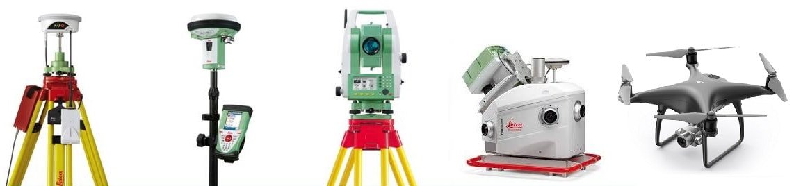
All backed in-house by our Mobile LiDAR, Drone LiDAR, and Drone Photogrammetry & Data Processing capability.
Ground-Truth Data Your Design Team Can Trust
From control point establishment to final documentation, our engineering survey team handles it end to end. Tell us about your site and scope.