
About Goodland Surveys Pvt Ltd
Bringing the Land Profile to your Desktop using latest technologies and providing a quality service which fulfills the customer's requirements.
+
Years of Experience
+
Projects Completed
+
Km Surveyed
2–5 cm
Survey Accuracy (DGPS-RTK)
The survey technology today is GNSS, EDM, LiDAR, Laser scanning, Digital Levels, Mobile scanning, Airborne Scanning, Aerial Digital Photogrammetry and remote sensing has also added to the mix. We have all these technologies in-house and we deliver custom-made surveying solutions suitable for the project & client requirements.
We pay undivided attention in executing each and every aspect of an assignment and adopt quality control measures from inception to completion. As a result, the customer gets a quality product right the first time. We have our own style of quality control by establishing ground control points, experienced QA/QC staff, site verification comparing drawings & generating contour/sectional maps to verify ground levels & design aspects.
Goodland provides an easy-to-use data experience that allows users to work with significantly more data, design larger projects, analyze data faster, and deliver a wider variety of services.
We offer standalone and custom-made land surveying and geospatial services — LiDAR survey with 360° panoramic images, drone survey solutions with ortho-mosaic images in airborne mapping, bathymetry survey, mobile mapping, ground penetrating radar, photogrammetry 3D survey, post processing, as well as CAD outputs.
Complete with extensive survey planning, data collection and man-interacted semi-automated post-processing software, Goodland Surveys enables clients to design, estimate, construct, create BIM and deliver projects to their customers quickly and profitably.
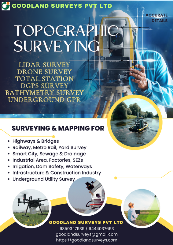
Expertise built over two decades
Our team has expertise in the newest technologies including Mobile LiDAR, UAV (Drone) LiDAR, RTK/PPK Drone photogrammetry, DGPS, Electronic Total Station and Auto Level. We deliver geo-referenced ortho-mosaic images, accurate and dense point cloud data, survey project reports, AutoCAD baseplans containing topographic features, boundary drawings, contour drawings, and railway final location surveys. We work with other surveyors and survey companies globally for LiDAR point cloud data processing and drone image data processing.
We have completed many projects throughout India & a few abroad projects (Gabon – Africa, Italy, Egypt & Brisbane – Australia), with more awaited in the near future. We have structured ourselves to meet the requirements of modern surveying practice, and with the wholehearted support of our valued customers, we march one step forward towards our goal.
To serve customers with an error-free service, we understand their requirements and focus on how the characteristics of the company can help the customer reach their business goal. We provide appropriate training to our personnel so that, complemented by hands-on experience with high-end tools, they assess every aspect of the activity with confidence.
Key Persons at Goodland Surveys

PK Samy
Steering the company's survey operations and client partnerships since inception.

G Selvakumar
Leading Goodland Geospatial's technology roadmap and project delivery.

S. Rajendran
Heading railway survey vertical — final location and feasibility studies.
Field Team
100+ Team Members includes
- Senior Surveyor & Team Leaders
- LiDAR Operators
- Drone Pilots
- Assistant Surveyors
- Survey Assistants
- Helpers
- Drivers
Data Processing Team
40+ Team Members includes
- Data Delivery Engineers
- Senior LiDAR Engineers
- LiDAR Pre-processing Engineers
- Drone Data Processing Engineers
- LiDAR QA/QC Engineers
- CAD Draftsmen
- Design Engineers
Facts & figures
Legal Name of Company
Goodland Surveys Pvt Ltd
Company Registrations
ROC: U74900TN2008PTC069134 (2008–2009)
GSTIN: 33AADCG2696J1ZF
PAN: AADCG2696J
Established
~Sep 2003 as a Partnership Firm
~Oct 2008 as a Private Limited Company
Goodland Geospatial incorporated 2018 as a wholly-owned subsidiary
Offices
Registered office: 3/12, Dharmaraja Nagar 4th Street, Karambakkam, Chennai – 600116, TN
Branch office: Noida (Delhi NCR)
Site offices: All over India
Directors
P Karuppusamy & G Selvakumar
No. of Employees
140
Turnover
INR 5 Crore, Per Annum (4-Year Average)
Area of Operation
All over India, plus abroad projects in Gabon – Africa (Port Gentil, Libreville & Franceville, 2010–12), Brisbane, Australia (CAD Works, 2015), Italy (LiDAR Processing, 2018–22), Egypt (LiDAR Processing, 2019), and Gulf Countries (2022)
Services Offered
Engineering Surveying & Mapping using Mobile LiDAR, Drone LiDAR & Drone Photogrammetry
LiDAR Data Post Processing, Point Cloud to CAD Vectorization, Ground Classification, DEM, DSM & Contours
Drone Image Data Processing, Orthomosaic Images
Underground Utility Survey (GPR) & Underwater Survey (Echo Sounder)
Few Important Projects
Jump to a sector, or scroll through the full track record below.
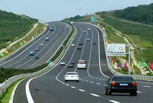
Highways
8 highlighted projects
-
01
Mobile LiDAR Survey for DPR development of economic corridors, inter corridors, feeder routes and coastal roads to improve freight movement efficiency (Lot-I / Telangana / Package-I) – Jadcherla–Deosugur section of NH-167
-
02
Mobile LiDAR survey for preparation of DPR (TOT) development of Chennai–Kolkata NH-5 from Ichapuram–Gundugolanu, Andhra Pradesh
-
03
Mobile LiDAR Survey for constructing Binjabahal to Telebani Road Section km 414.000 to km 491.710 of NH-6 (new NH-49), Odisha, NHDP-IV
-
04
Mobile LiDAR, Drone Photogrammetry and Total Station Survey for various roads over 400 kms in Kerala – KIIFB
-
05
Mobile LiDAR Survey for upgrading Rajapalayam–Sankarankoil–Tirunelveli SH-41, Tamil Nadu
-
06
Topographic survey for urban roads improvement plan including tunnels, bypasses and alternate roads for Shimla – 150 kms
-
07
Mobile LiDAR survey for DPR preparation for economic corridors, inter corridors and feeder routes (Lot-1 / Madhya Pradesh / Package-4)
-
08
Mobile LiDAR Survey in Madhya Pradesh, Package-I of Bharatmala Lot-I (265 kms) for Harda–Betul & Betul–Khandwa
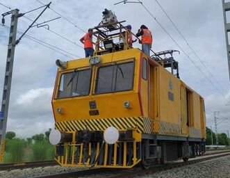
Railways
9 highlighted projects
-
01
Mobile LiDAR survey for upgrading to Semi High Speed Rail from Balharshah to Nagpur (210 kms) including stations
-
02
Final Location Survey for Erode–Karur Section, 65 kms
-
03
Final Location Survey for Karur–Dindigul Section, 75 kms
-
04
Feasibility Study Report for proposed railway siding from Omalur to Mettur Dam Railway Line to Mettur Thermal Power Station Ash Pond, Tamil Nadu
-
05
Reconnaissance survey for proposed Ariyalur (ALU) to Namakkal (NKML) Railway Line, Tamil Nadu
-
06
Drone survey for new BG Line between Nabhoi to Dholera, Gujarat
-
07
Survey for 3rd Line from Maramjhiri to Chichonda Railway line of Itarsi–Nagpur Section, Central Railway
-
08
Drone Survey for Dhamra Port Rail – Doubling line, 42 kms, Odisha
-
09
Topographic survey for redevelopment of Chhatrapati Shivaji Maharaj Terminus, Mumbai
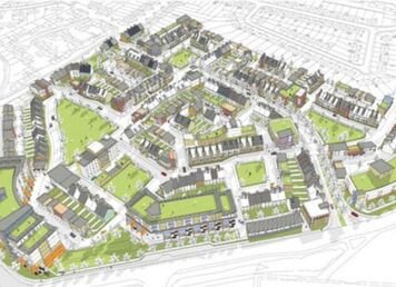
City Surveys
9 highlighted projects
-
01
PPK Drone survey of entire Addu City for road development and reclamation project, Maldives
-
02
Mobile LiDAR survey for implementation of Smart City Project, Tirupathi, Andhra Pradesh
-
03
Mobile LiDAR and drone videography topographical survey for Diu Smart City, Gujarat
-
04
Topographical survey of entire Sri Ganganagar city, 450 kms, Rajasthan
-
05
Topographic survey for entire AWD area in Tiruchirapalli city, Tamil Nadu
-
06
Chennai city survey for 350 kms for sewage project, CMWSSB
-
07
Topographic survey using drone for urban roads improvement plan for all district HQs of Himachal Pradesh (except Kinnaur, Lahaul-Spiti, Shimla & Dharamshala), 9 sq.km
-
08
Mobile LiDAR survey of cities in Himachal Pradesh – Bilaspur, Champa, Solan, Una, Hamirpur, Kullu, Mandi, Nahan, HPRIDCL
-
09
Drone Survey for holistic development of Package-IV islands/sites in Andaman & Nicobar Islands
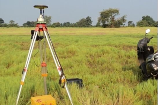
Green Field Proposed Highways
6 highlighted projects
-
01
Chennai Peripheral Road, Ennore Port to Perungudi (ECR) & PPK Photogrammetry Drone Survey between Singaperumal Koil to Perungudi (ECR–OMR)
-
02
PPK Photogrammetry Drone Survey for Nagapattinam–Tuticorin Green Field Highway, New NH-32, Tamil Nadu
-
03
PPK Photogrammetry Drone Survey for proposed Green Field Highway between Karur–Coimbatore, Coimbatore Ring Road, Tamil Nadu
-
04
UAV/UAS-based LiDAR Survey for Gorakhpur, Kanpur, Ayodhya, Moradabad & Bareilly Ring Roads, Uttar Pradesh
-
05
PPK Photogrammetry Drone Survey for Kaprikkad to Thalikulam section including drone videography
-
06
PPK Photogrammetry Drone-based topographic survey for DPR of integrated coastal highway, 140 kms with cycle track, Ernakulam & Thrissur Districts, Kerala
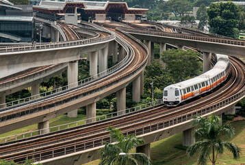
Metro Rail
6 highlighted projects
-
01
Topographic survey for Chennai Metro Project packages P2C3-01 & P2C3-02 – Airport to Vandalur (18 kms) | Koyambedu–Virugambakkam, Vadapalani–Porur–Guindy–Sholinganallur (50 kms)
-
02
Topographic survey using Mobile LiDAR for Medavakkam–Chennai Metro Rail Project
-
03
Mobile LiDAR Survey for Coimbatore Metro Rail Project, 120 kms
-
04
Topographic survey for Metro Rail project at Gurgaon, 40 kms
-
05
Topographic survey along corridor connecting Sarjapura to Hebbala through Agara, Koramangala and Dairy Circle, Bangalore Metro Rail Phase-3, 37 kms
-
06
Topographic survey using LiDAR for viaduct from Petta to S.N. Junction incl. 2 elevated stations, Kochi Metro Rail Project, plus detailed design of Petta Road Over Bridge
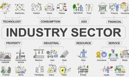
Area Survey for Various Industries
7 highlighted projects
-
01
Drone Survey for rehabilitation of 123 lakes & 307 ponds, Tiruvannamalai District, Govt of Tamil Nadu
-
02
40,000 hectares of land incl. villages, Madhya Pradesh, for Irrigation Project
-
03
Topographic Survey of proposed water supply pipeline project (YLMC to Nakkapalli Industrial Park), Andhra Pradesh
-
04
Drone Survey for detailed master plan of roads, services & utilities for integrated Manufacturing Cluster at Baddi–Barotiwala–Nalagarh (BBN), Himachal Pradesh, under AKIC Project
-
05
Total Station survey of Rubber Park at Velloor, Kerala, TDLC–KIIFB
-
06
Topographic survey for master plan & DPR for Chittoor Node South Cluster, Andhra Pradesh, under VCIC Project
-
07
Topographic survey for master plan & DPR for SIPCOT Industrial Parks Package-1, Manapparai & Theni, Tamil Nadu (1,262.5 acres)
Trusted by government & private sector
Government Sector
Consulting Engineers & Contractors

Want to work with an experienced survey partner?
Talk to our team about your next infrastructure or geospatial project.