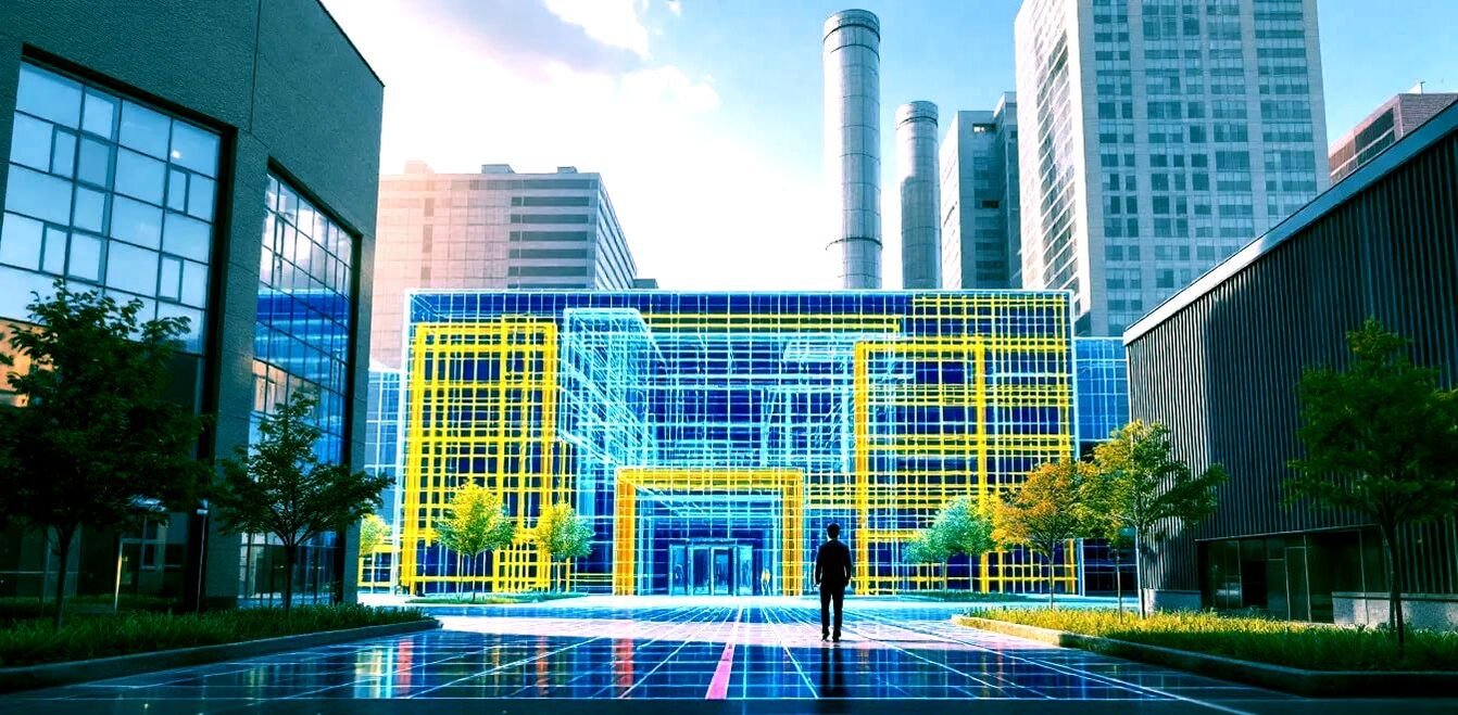
Handheld 3D LiDAR Scanner Survey
Walk through a space once and carry every wall, ceiling, column and fitting out with you — digitised, dimensioned and ready to model. Nine years of LiDAR data processing experience, packed into a scanner you carry in one hand.
Interiors Are Hard to Measure Conventionally
Active offices, running factories and busy commercial spaces make conventional measurement almost impossible without getting in the way of the people and operations already inside them.
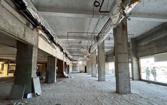
Vacant or under-renovation buildings bring the opposite problem — total station work or manual tape measurement takes a long time in an empty building, and it is still easy to miss a detail that only shows up later, on site, when it is expensive to fix.
Handheld LiDAR Technology
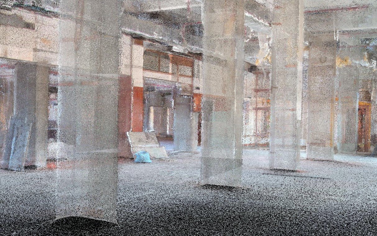
- High-density 3D scanning — every wall, ceiling, column and detail captured in a fraction of the time a manual survey would take.
- 360-degree real-world visualisation, with immersive imagery and walkthroughs accessible directly from a PC.
- Measure anything, anytime — every dimension is stored digitally, so there is no need to revisit the site to pull a missed measurement.
- CAD-compatible outputs — 2D drawings, 3D models and detailed CAD files developed directly from the scan data.
- A future-proof record of the building as it stood on the day of the scan, useful for renovation planning and asset management.
Need to survey a building without disrupting it?
Get a Free QuoteSpatial Data Capture, Reimagined
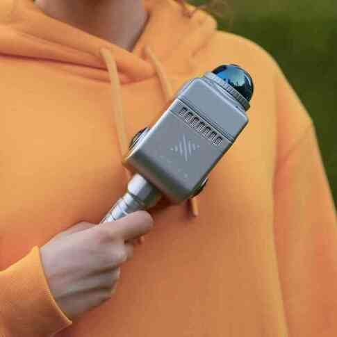
Unlike total station or tape-based methods, a handheld scanner keeps moving with the operator — which means dense, high-resolution point clouds captured in real time, with almost no setup between rooms or sites.
Rapid Capture
High-resolution 3D scans in real time with minimal setup.
Full Portability
Manoeuvres through tight spaces and complex structures with ease.
High-Precision Mapping
Advanced sensors return detailed, accurate point cloud data.
Expert Processing
Nine years of LiDAR experience behind every clean, actionable deliverable.
Applications of Handheld LiDAR Surveying
Forestry & Environment
Tree density, biomass and terrain measurement made simple.
Construction & Infrastructure
Progress monitoring, site inspection and accurate as-built measurement.
Mining & Exploration
Efficient mapping of both underground and surface environments.
Urban Planning & Asset Management
Detailed 3D city models to support planning and development.
Save Time, Cut Costs, Decide With Confidence
We pair state-of-the-art handheld LiDAR hardware with nine years of processing expertise to deliver fast, precise, and minimally disruptive interior surveys. Contact us to see how it fits your next project.