Railway Projects
Railway engineering surveys support every stage of a railway project — planning, design, construction and maintenance — helping ensure the resulting line is safe, efficient and built to last. Geotechnical surveys complement the topographic work by assessing soil and subsurface conditions along the corridor, flagging hazards early and informing the right engineering response.
What We Survey
Final Location Survey, Step by Step
For railway doubling, detours and additional lines, we combine several survey technologies into one accurate, structured process.
-
01
LiDAR Survey
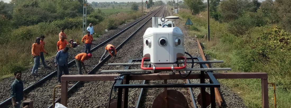
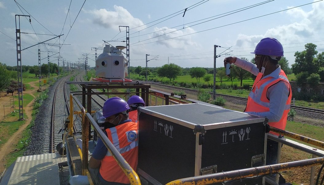
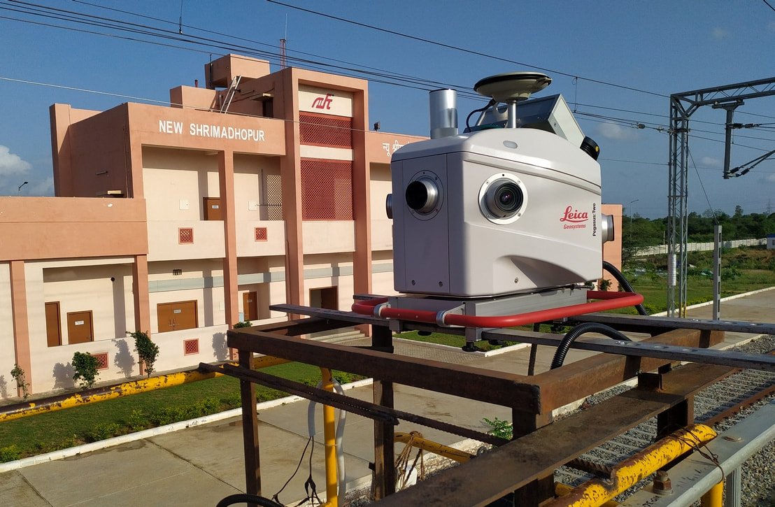
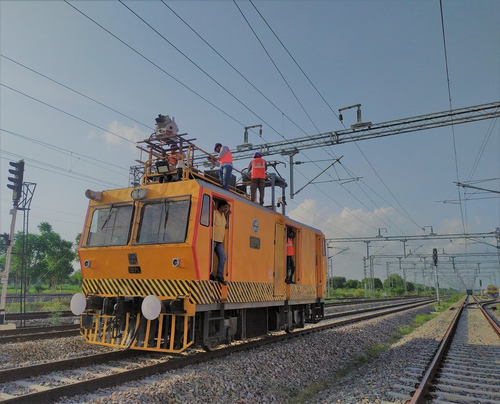
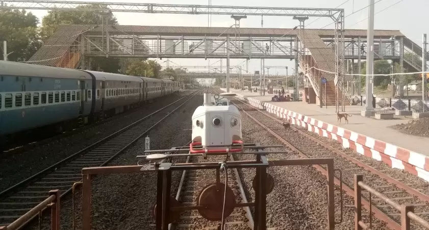
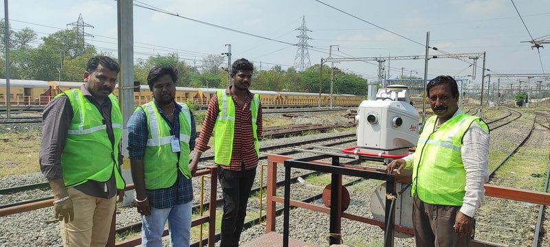
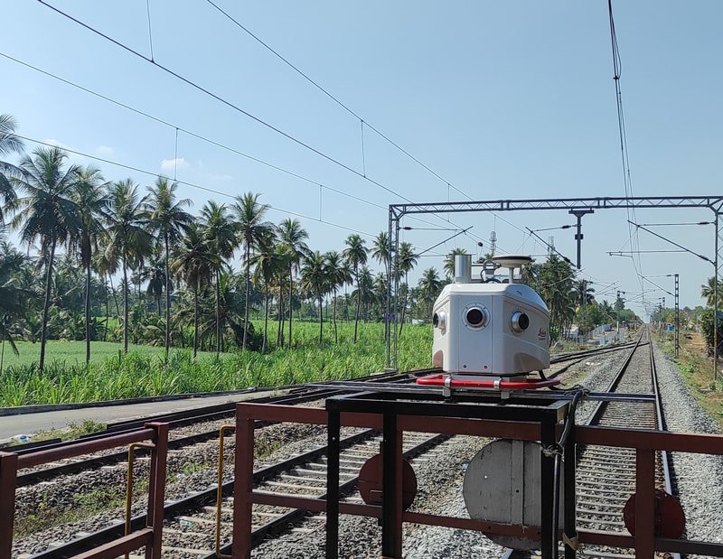
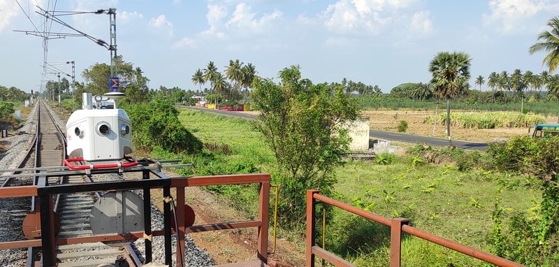
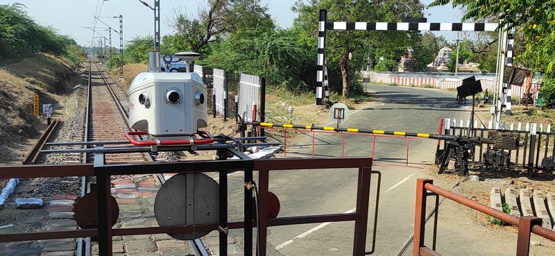
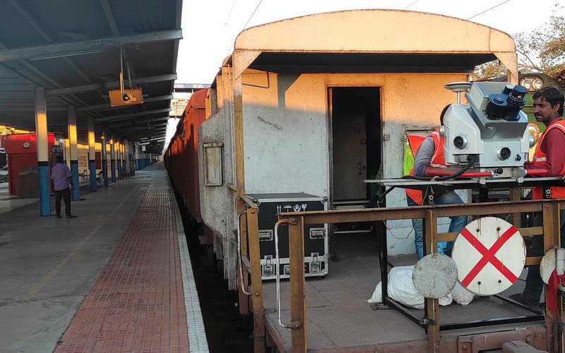
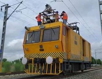
Airborne or terrestrial LiDAR scanners capture the topography of the corridor at high density, including existing tracks, surrounding terrain and nearby structures. For alignment work, the scanner is mounted on the last bogie and runs the length of the route.
-
02
Drone Survey
High-resolution aerial imagery gives a bird's-eye view of the corridor, helping assess terrain, obstacles and alignment options for the new or upgraded track.
-
03
DGPS Survey
Differential GPS establishes accurate horizontal and vertical control points across the site, georeferencing the LiDAR data, drone imagery and other survey measurements.
-
04
Total Station Survey
On-ground measurement of angles and distances at alignment control points, property boundaries and critical structures along the corridor.
-
05
Auto Level Survey
Elevation measurements along the alignment build the longitudinal profile needed for correct slope and drainage, tied back to site benchmarks (GTS).
-
06
Engineering Scale Plan Preparation
The captured data is processed into a full set of engineering deliverables — an index map and plan of the corridor, working sections and plans showing cut/fill and alignment detail, yard maps, and a Detailed Project Report covering the survey findings, design and cost estimate.
-
07
Geotechnical Surveys
Soil and subsurface investigation along the corridor identifies hazards and informs the engineering solution.
Bringing LiDAR, drone, DGPS, Total Station and Auto Level survey together with structured engineering plan preparation gives railway doubling, detour and additional-line projects the robust, accurate final location survey needed to move into successful execution.
Railway Projects
Planning a railway doubling or new-line project?
Talk to our survey engineers about the right technology mix for your corridor.