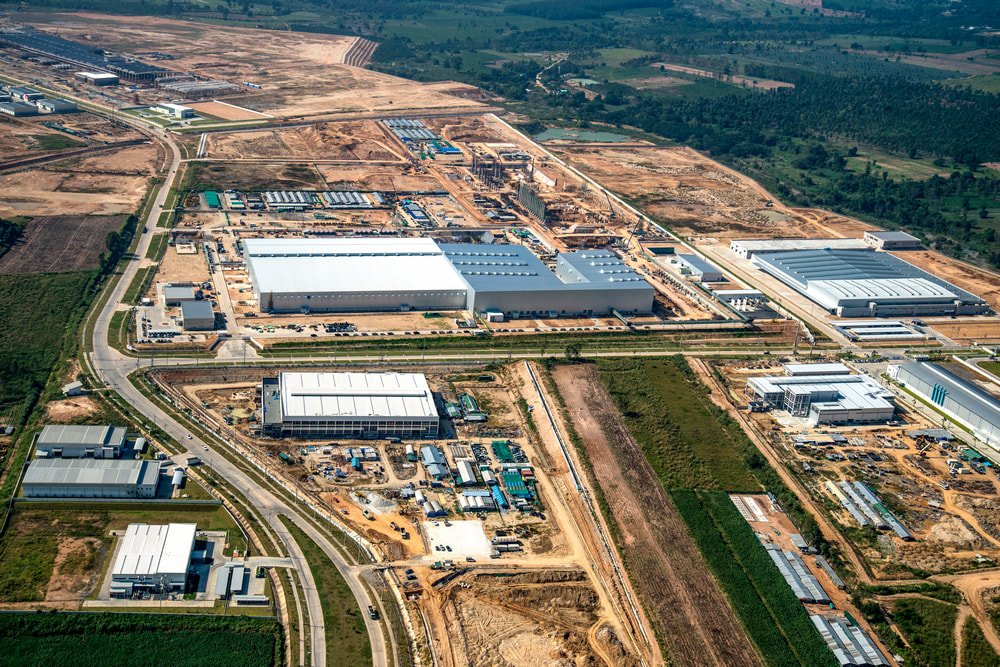
Engineering Surveying for Industrial Development
We support industrial development, Special Economic Zones (SEZs), factory asset mapping, construction, boundary and contour surveys, and setting out — using LiDAR, drones, Electronic Total Stations and DGPS to deliver precise topographic drawings from the field.
Engineering Surveying Services
Industrial Development
Whether you're establishing a new facility or expanding an existing one, our surveys give you the ground data needed to execute the project to the highest standard of precision.
Special Economic Zones (SEZs)
Careful, accurate surveying for SEZs, helping optimize land usage, plan infrastructure and support an environment for economic growth.
Factory Asset Mapping
A detailed inventory of factory assets, supporting efficient maintenance and resource allocation.
Factory Construction
Precise setting-out and construction layout services keep factory projects on track and true to the planned design.
Boundary Survey
Clear, reliable property lines established using the latest surveying technology.
Contour Survey
Elevation data across the site, essential for informed engineering decisions.
Precision Tools for Industrial Land
LiDAR
Millions of data points captured to build a highly detailed 3D representation of the surveyed area — the basis for precise measurements and comprehensive topographic drawings.
Drones
Aerial imagery at exceptional resolution, reaching terrain that's otherwise difficult to access, for accurate mapping and asset inventory.
Electronic Total Station
High-accuracy angle and distance measurement supporting a wide range of surveying applications.
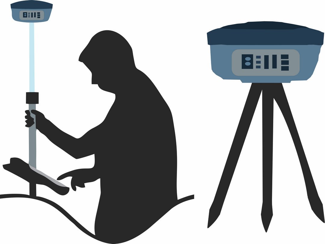
DGPS
Centimeter-level accuracy in real time, the foundation for reliable survey data.

Need surveying support for an industrial project?
Talk to us about your industrial development or SEZ surveying needs.