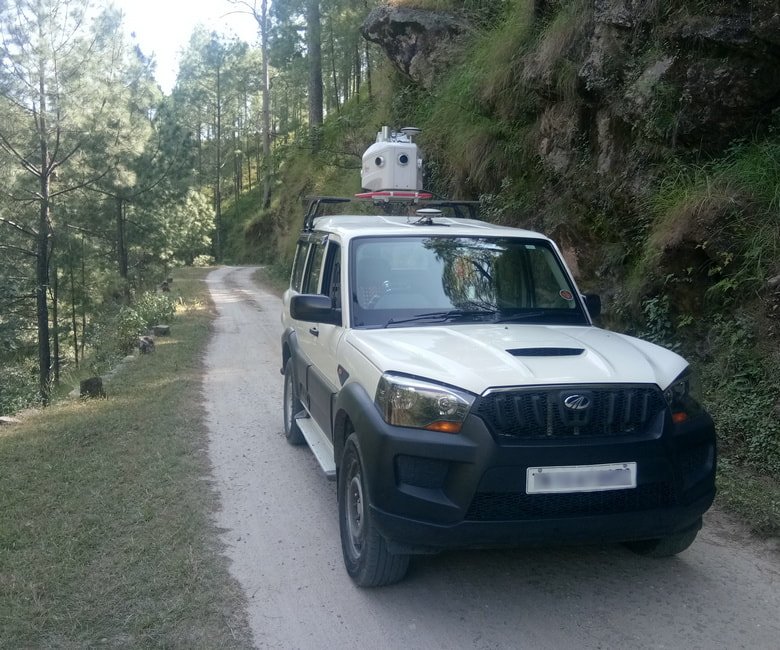
Mobile LiDAR Survey for Roads, State & National Highways, Expressways and Hill Roads
Every road project starts with an accurate engineering survey — it's what ensures ground features are correctly positioned before design or construction begins. Planning, estimation and construction all rely on the topographical measurements captured during this first step, and the survey's control points and reference lines guide the work through to completion.
LiDAR survey captures the position of millions of points across a corridor at high speed, building a 3D "point cloud" that forms the basis for an accurate three-dimensional model of the surveyed area — giving road designers and construction teams the ground-truth data they need to plan and build with confidence.
Goodland Surveys is equipped with Mobile LiDAR, Drone LiDAR, Drone Photogrammetry, DGPS, Total Station and Digital Level instruments, generating digital models of the surveyed corridor for highways, expressways, greenfield alignments and city roads alike. We recommend a custom-made survey approach for every project, combining technologies to suit the road type and client requirement, to deliver accurate drawings on time.
Hill Road Survey — Mobile LiDAR
What We Survey
Existing Roads, SH, NH & Expressways
Feasibility studies, DPR, re-engineering, construction, as-built surveys and asset mapping.
Proposed Greenfield Highways
Proposed greenfield highway projects, expressways and elevated corridors.
Bypasses, Re-alignments & Ring Roads
Proposed bypasses, re-alignments and ring road corridors.
City Roads & Structures
City roads, bridges, ROB, RUB, blackspot studies, junction development, dedicated bus routes, traffic islands and tunnels.
A Technology Mix for Every Road Type
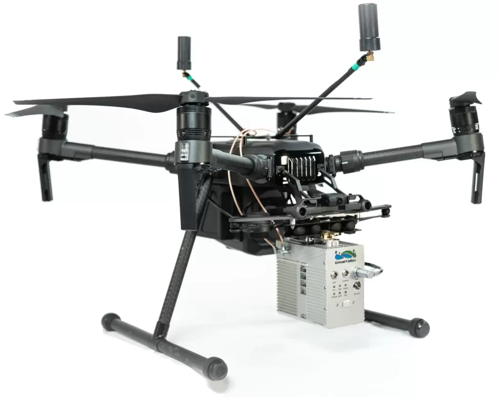
Drone LiDAR Scanner
High-density point capture for greenfield alignments and hard-to-access terrain.

Drone Photogrammetry Survey
Survey-grade aerial imagery for corridor mapping and orthomosaic generation.
Matched to Accuracy & Road Type
Existing Roads
Technology
DGPS, Total Station, Auto Level, Mobile LiDAR
Accuracy
1:20,000–1:40,000 HOR, 12√K–6√K VER
Proposed Roads
Technology
DGPS / DGPS-RTK, Drone LiDAR or PPK Drone Photogrammetry
Accuracy
2–5 cm
City Roads
Technology
DGPS, Total Station, Auto Level, Drone LiDAR or Photogrammetry Drone
Accuracy
1:20,000–1:40,000 HOR, 12√K–6√K VER
What You Receive
A highway LiDAR survey can produce a wide range of outputs for infrastructure planning, design and management. The right mix depends on project goals, budget and specific requirements — together they give planners, designers and construction teams the accurate, decision-ready data needed to keep a highway project on track.
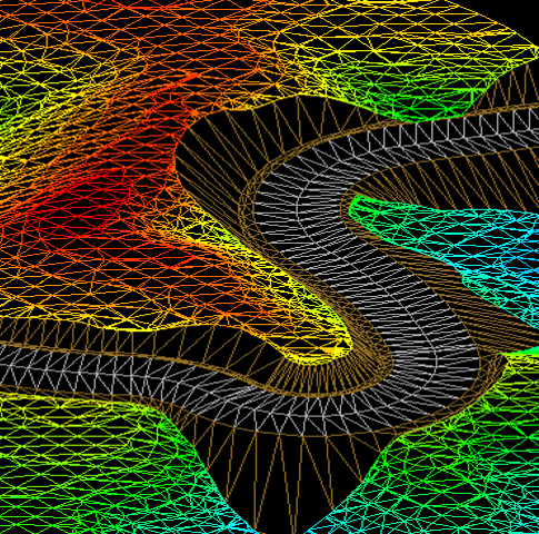
LiDAR Point Cloud Data
The raw three-dimensional point data captured by the LiDAR sensor across the surveyed corridor.
Digital Elevation Model (DEM)
A high-resolution bare-earth surface model revealing true topography beneath vegetation and structures.
Digital Surface Model (DSM)
A surface model including trees, buildings and other features alongside the ground.
CAD Line Works & Points
3D DGN/DWG drawings of the surveyed area for easy review and communication.
Contour Maps
Elevation and gradient visualized as contour lines, supporting design decisions.
Cross-Sections
Cross-sectional profiles along the corridor, essential for road design and construction planning.
Vegetation Analysis
Identification of vegetation likely to obstruct the route or affect road safety.
Power Line & Utility Detection
Mapping of overhead lines and utility features to help avoid conflicts during construction.
GIS Integration
Survey data structured for direct use in GIS platforms and broader geospatial analysis.
Road Asset Inventory
Cataloguing of signage, markings and other road assets for ongoing asset management.
Corridor Modeling
A full 3D model of the highway corridor supporting alignment, design and construction planning.
Data Reports & Documentation
Survey methodology, control point lists, traverse and fly-level records, documented for full traceability.
Planning a highway or expressway project?
Talk to our survey engineers about the right technology mix for your corridor.