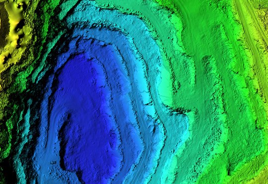
Our LiDAR Data Processing Services
Airborne, mobile, drone, terrestrial, backpack or handheld — whatever platform captured your LiDAR data, we turn the raw point cloud into geospatial deliverables you can build on.
Raw Point Cloud to Actionable Deliverable
A LiDAR scan on its own is just millions of unclassified points. Turning that into something a design team can use — a clean terrain model, an accurate line-work file, an annotated topographic drawing — is a processing discipline in its own right, and it is the part of the workflow we specialise in.
We take data from whichever platform captured it — airborne, mobile, drone, terrestrial, backpack or handheld — and run it through the same rigorous pipeline: geo-referencing, ground classification, feature extraction, elevation modelling, and finally the drawings and annotation that make the data usable outside a point cloud viewer.
Sitting on raw LiDAR data that needs processing?
Talk to Our TeamProcessing Services
Geo-Referencing & Matching
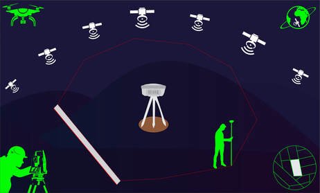
Precise alignment to geographic coordinates and elimination of discrepancies between overlapping scans.
Line Works & Feature Extraction
Power lines, road networks and other linear features extracted and classified for design and analysis.
Ground Classification
Ground points separated from vegetation and structures to build a reliable terrain base.
DEM & DSM Production
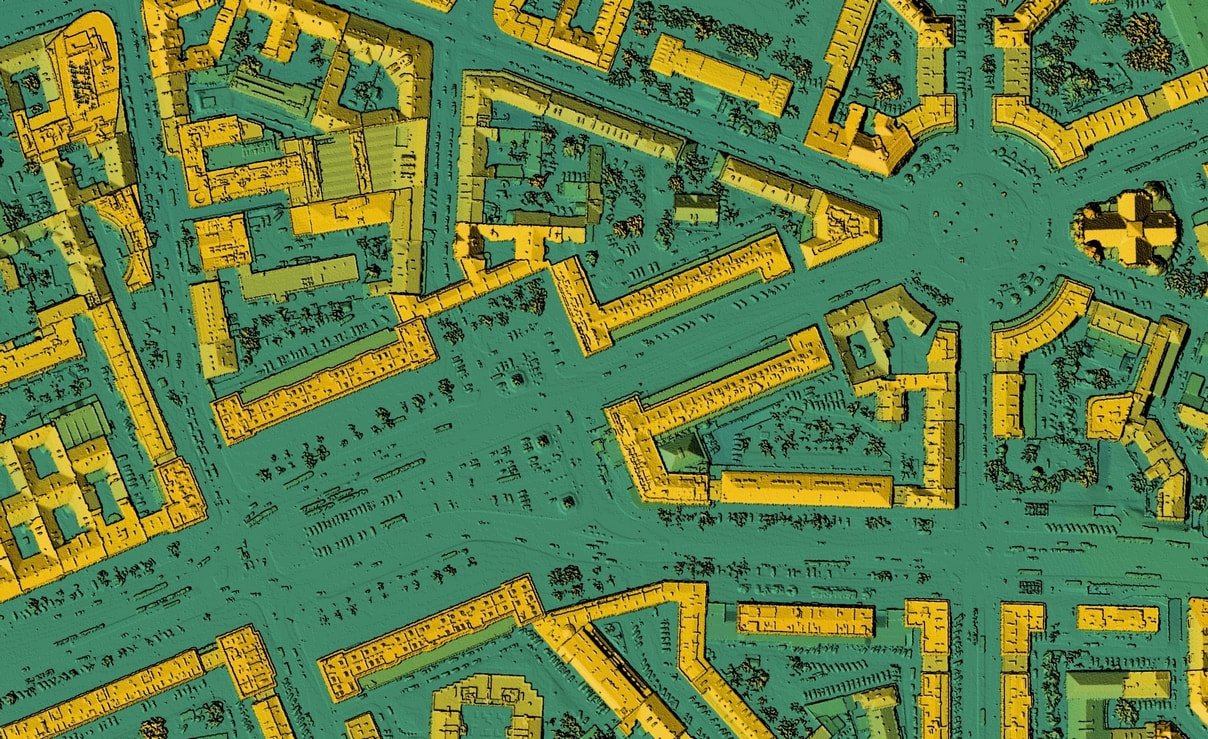
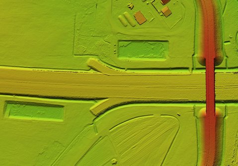
Bare-earth and full surface models tailored to project specification.
Contour Generation
Custom-interval contour maps for engineering, planning and environmental use.
Topographic Drawings & Annotation
CAD-ready drawings with elevation, feature and boundary annotation.
Supported LiDAR Survey Methods
Airborne LiDAR
Large-scale mapping from aircraft for expansive areas.
Mobile LiDAR
High-density data from vehicle-mounted systems for roads and urban corridors.
Drone LiDAR
Agile, cost-effective surveys for small to medium-sized sites.
Terrestrial LiDAR
Stationary scanning for detailed structural and architectural projects.
Backpack LiDAR
Portable capture for hard-to-reach or complex terrain.
Handheld LiDAR
Quick, lightweight scanning for indoor or small-scale work.
Applications
Construction & Engineering
Accurate terrain models and topographic drawings for site planning and design.
Transportation
Road and railway corridor mapping with detailed line works and surface models.
Forestry & Environmental
Vegetation analysis, flood modelling and habitat mapping.
Urban Planning
High-resolution DSMs and contours for city development and infrastructure.
Mining & Quarrying
Volume calculations and terrain analysis for operational efficiency.
Custom Solutions
Tailored processing for project scale, from small-site surveys to large infrastructure programmes.
Turn Your LiDAR Data Into Valuable Deliverables
Contact us to discuss your project and see how our processing pipeline can unlock the full potential of your LiDAR data.