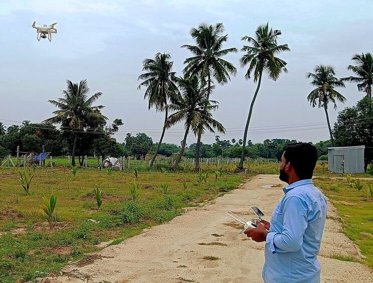
Drone Photogrammetry Survey
More than five years of RTK/PPK drone photogrammetry behind every orthomosaic and 3D topographic drawing we deliver — trusted by government agencies, consulting engineers, surveyors, contractors, architects and archaeologists alike.
RTK/PPK Drone Survey, Ground-Checked
RTK/PPK drone photogrammetry replaces days of manual chain-and-tape topographic survey with a single flight, without giving up accuracy — ground control checkpoints are still used to validate every mission before it is signed off. That combination cuts survey time and cost while keeping crews off busy job sites.
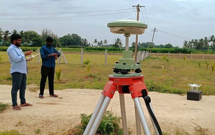
PPK missions work much like RTK: a static base station sits over a known control point while the drone collects its own GPS observations in parallel, and the two data sets are reconciled afterwards in post-processing rather than corrected live in the field.
The output is an orthomosaic — a geo-referenced, photo-realistic image accurate enough to measure distances and areas directly from it — alongside a 3D model that supports volume and surface calculations. Both feed straight into faster, better-informed decisions on design and construction.
Need a fast, survey-grade topographic map?
Get a Free QuoteRTK/PPK Drone Platforms
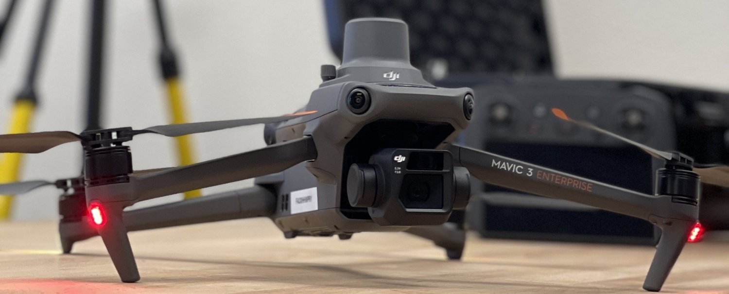
DJI Mavic 3E with RTK Module
A compact platform built for mapping efficiency — a 4/3 CMOS wide camera, hybrid zoom and an onboard RTK module deliver centimetre-level positioning without needing Ground Control Points for most missions.
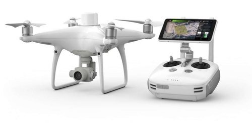
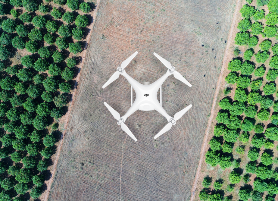
DJI Phantom 4 RTK
Our workhorse survey platform, built-in RTK module with PPK support and TimeSync positioning, streaming centimetre-level metadata into every image for higher absolute accuracy on the finished orthomosaic.
Multi-Constellation PPK Post-Processing
Our PPK workflow processes GPS, GLONASS, BeiDou and Galileo observations across multiple frequency channels in a base-rover configuration, correcting the flight trajectory to centimetre-level accuracy before it ever reaches the modelling stage.
Application Areas
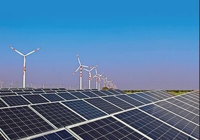
Energy & Transmission Lines
Survey support for wind, solar and hydro projects, plus transmission lines and towers.
Proposed Roads
Feasibility, DPR and construction survey for bypasses, re-alignments, green-field highways and hill roads.
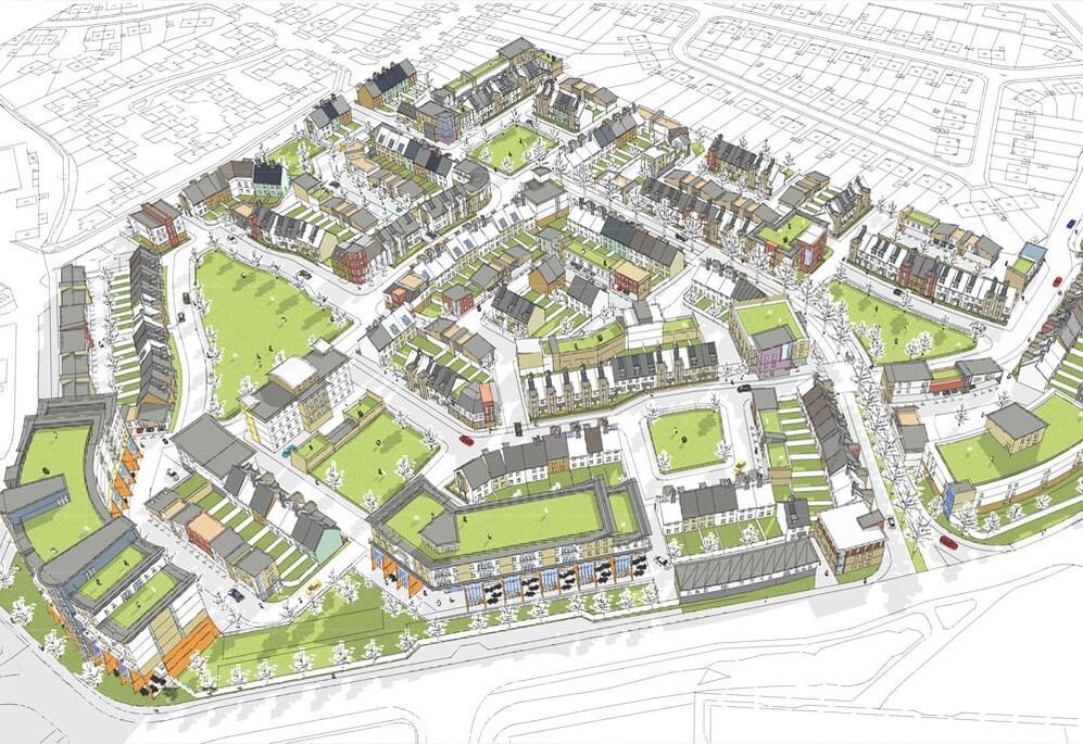
City Survey
Smart city, town planning, water and sewage, satellite cities, metro rail and GIS base mapping.
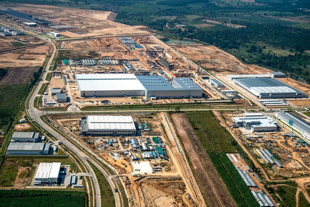
Industrial Land Survey
Mapping for industrial parks, SEZs, development projects and existing industrial areas.
Irrigation Projects
Survey for irrigation and dam infrastructure, hydrographic mapping and waterway environmental studies.
Drone Data Processing
Point cloud to CAD conversion and photogrammetry processing for partner survey agencies.
Major Drone Survey Projects
Get an Orthomosaic-Grade Survey, Fast
Talk to us about your site and we will scope the right RTK or PPK platform to deliver survey-grade accuracy on schedule.