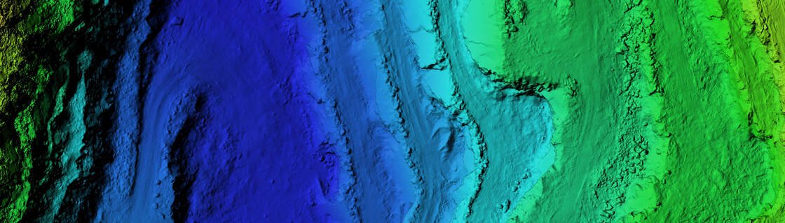
20 Years of Experience in Surveying & Mapping
We help Consulting Engineers, Planners, Designers and Construction Companies achieve their goals on time — delivering quality the first time, every time.
+
Years of Experience
+
Projects Completed
+
Km Surveyed
2–5 cm
Survey Accuracy (DGPS-RTK)
What We Are Capable Of
Built to Adopt the Latest Survey Technology
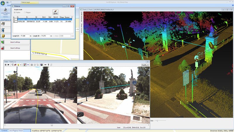

Mobile LiDAR Scanner
The Leica Pegasus:Two mobile mapping solution combines laser scanners with GNSS receivers, an IMU and a DMI — suited to highways, railways, waterways and city survey projects. It's a multi-sensor, vehicle-independent scanner capable of measuring 1 million points per second.
Drone LiDAR Scanner
The LiAir V70 by GreenValley International, mounted on a DJI M600 Pro, features a Livox AVIA laser scanner — suited to greenfield alignments, new railway lines and forested terrain.

Drone Photogrammetry Survey
DJI Phantom 4 RTK delivers survey-grade results with its PPK module, ideal for greenfield alignments, marshy areas and new railway lines.
DGPS & Total Station Survey
Electronic Total Station, DGPS, auto level survey and setting out — Sokkia, Leica, Nikon and Trimble instruments deliver millimeter accuracy.
GPR – Underground Utility Survey
Ground Penetrating Radar uses radio waves to image below the surface in a minimally invasive way — pinpointing underground utilities without disturbing the ground.
Technical & Infrastructure Facilities
Mobile LiDAR Scanner
- Leica Pegasus: Two – multi sensor, vehicle-independent
- Leica Geo Office, Leica Infinity
- Leica Pegasus Manager
- Inertial Explorer
- Leica Map Factory
Drone LiDAR Scanner
- GreenValley LiAir V70
- DJI M600 Pro
- Sony 5100 Camera
- LiAcquire, LiDAR360, LiGeoReference
Drone Photogrammetry
- DJI Phantom RTK
- Redcatch RedToolbox
- Pix4D Mapper
Drone Videography
- DJI Phantom 4 Pro for aerial videography of construction projects
DGPS
- Trimble Spectra Precision SP85
- Trimble Spectra Precision SP80
- Leica GS08 Plus
- Leica GPS 1200
Electronic Total Station
- Sokkia CX 105
- Leica TS06 Plus
- Topcon IM SS 50M
Auto Level
- Sokkia B40
- Leica NA 724 / NA 720
Echo Sounder & GPR
- Dual-frequency Echo Sounder
- Mala Easy Locator Pro
- WideRange HDR
Software
- Leica Pegasus Manager, Hexagon Inertial Explorer
- SpectraPrecision Survey Office
- Leica Geo Office & Infinity, Leica MapFactory
- Pix4D, RedToolbox, CADTools
- GVI LiAcquire, LiGeoReference, LiDAR360
- AutoDesk Civil 3D, AutoCAD
- Malavision, PDS
Topographic Surveying, Explained

What Topographic Surveying Does
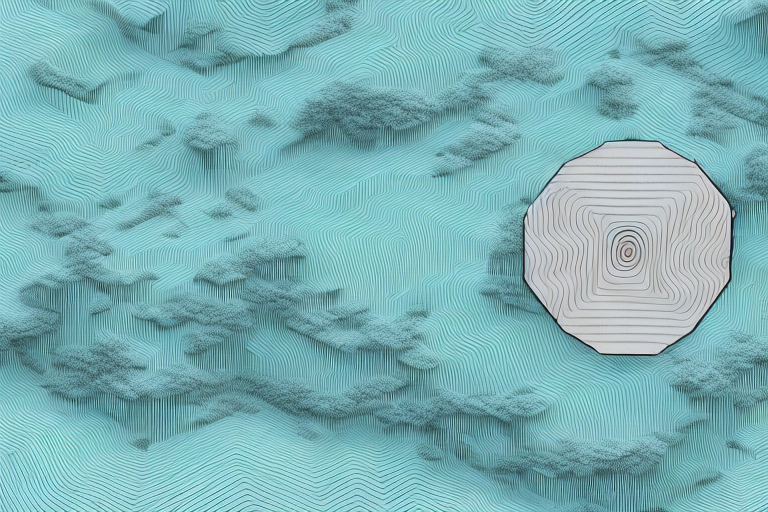
Topographic surveying maps the shape of the land — its contours, elevations and natural or built features — giving engineers and architects the accurate ground data they need to plan roads, buildings and other infrastructure. Advances in LiDAR and drone technology have made the process dramatically faster and more precise than traditional manual methods, while reducing the on-site risk to survey teams.
Choosing the Right Method
Every project calls for a different combination of tools. DGPS delivers centimeter-level positioning ideal for large corridors; Total Stations and auto levels remain the go-to for smaller sites needing precise angle and distance measurements; and LiDAR or drone-based capture now leads for large or hard-to-reach areas where speed and point density matter most.

The LiDAR Advantage
Mobile LiDAR mounted on a vehicle covers highway and railway corridors at speed, while drone-mounted LiDAR reaches terrain that is steep, vegetated or otherwise hard to access on foot. Both produce dense, highly accurate 3D point clouds — capturing detail down to pavement cracks and small elevation changes — at a speed and resolution traditional methods can't match.
Drone Photogrammetry
By stitching together high-resolution aerial photographs, drone photogrammetry builds detailed 3D terrain models without putting survey crews at risk — valuable for hazardous sites such as open-pit mines, active construction zones, or post-disaster areas where ground access is limited or dangerous.
Control Points & Traverse
Every survey is anchored by a network of benchmarks, traverse points and ground control points, established using DGPS and Total Station instruments. These reference points calibrate and validate the LiDAR, drone and aerial data collected on site, keeping the final deliverables accurate and standards-compliant.
Setting Out
Once the terrain model is complete, the design is transferred back to the field — setting out boundaries and reference points so construction teams can build exactly to plan, catching design conflicts early before they become costly on-site problems.
Establishing benchmarks, traverse lines, fly levels and ground control points is what keeps a survey accurate from raw data capture through to the final CAD deliverable — reducing on-site risk while improving both results and compliance with local requirements.
Ready to see the entire technology in action?
Get a scoped quotation for your survey and mapping project.