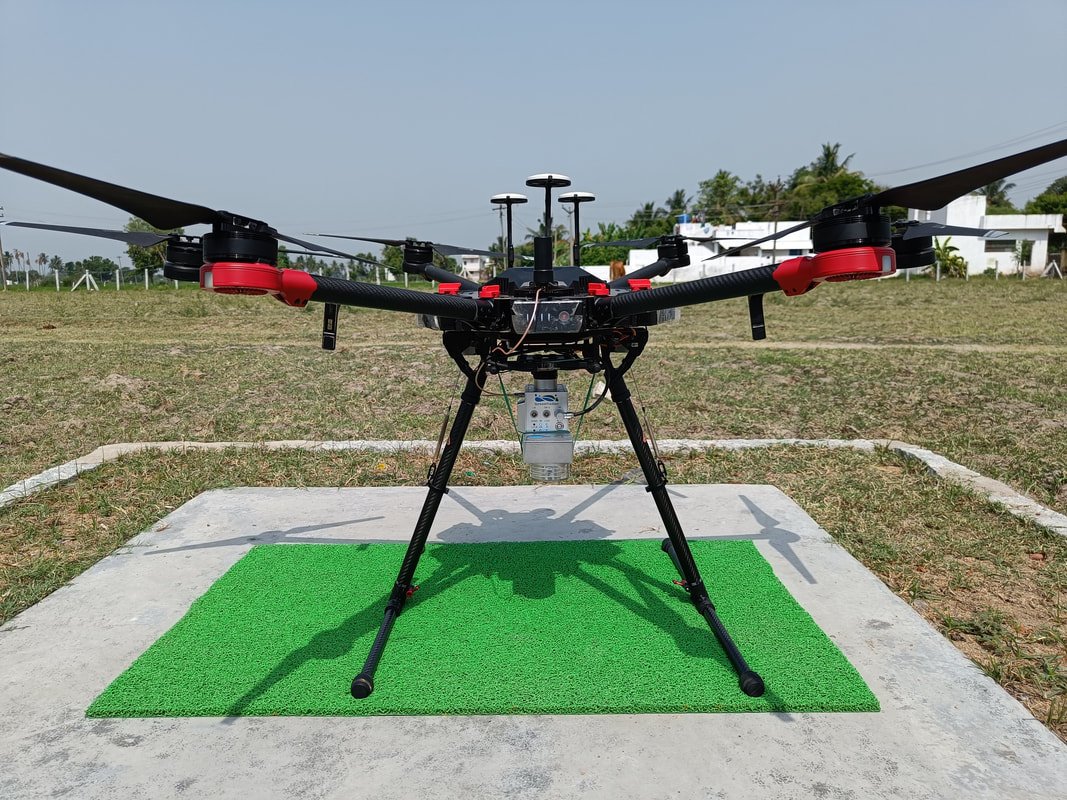
Drone LiDAR Survey with Drone Photogrammetry
When a road, rail line or transmission corridor runs through terrain a vehicle can't reach — dense vegetation, hill sections, marshland — drone-mounted LiDAR takes over. It flies where Mobile LiDAR can't, and still comes back with survey-grade point cloud data.
LiDAR That Goes Where a Vehicle Can't
Mounting a LiDAR sensor on a drone rather than a vehicle removes the biggest constraint of ground-based mapping: access. There's no road to drive along, no line-of-sight to maintain from a fixed traverse — the aircraft simply flies the corridor and the sensor records everything beneath it, from tree canopy down to the ground it's rooted in.
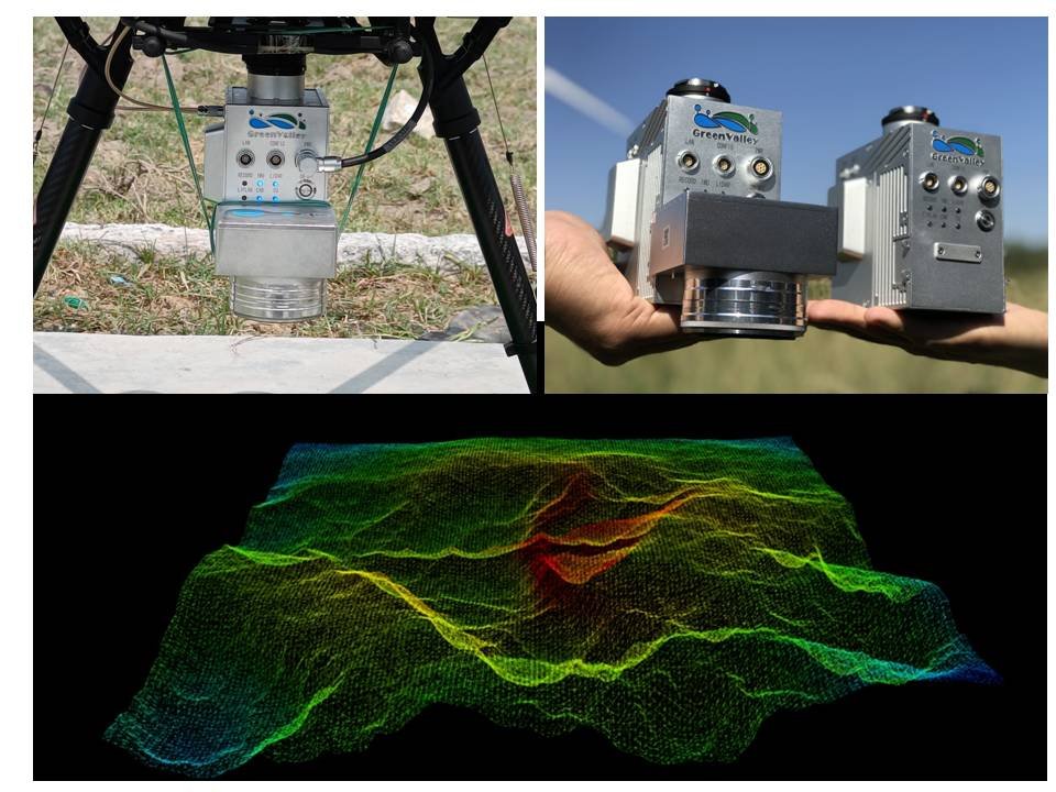
As an active sensor, LiDAR punches through vegetation cover in a way passive camera-based photogrammetry can't, which is exactly why it's the technology of choice for green-field alignments and heavily wooded proposed routes. To hold survey-grade absolute accuracy, we tie every mission to one or two Ground Control Points plus a set of independent checkpoints for validation.
Where the project calls for it, we combine the LiDAR pass with drone photogrammetry in the same mission — delivering a point cloud dense enough for engineering design alongside photo-realistic orthomosaic imagery, without flying the site twice.
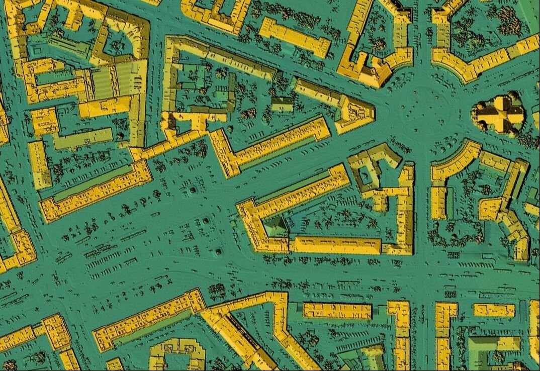
High-precision 3D point cloud for infrastructure, energy and industrial projects
Point density up to 400–800 points/m²
Purpose-built for green-field alignments & proposed bypasses
Combined LiDAR + photogrammetry delivery in one pass
Got a green-field alignment through difficult terrain?
Talk to Our TeamApplication Areas
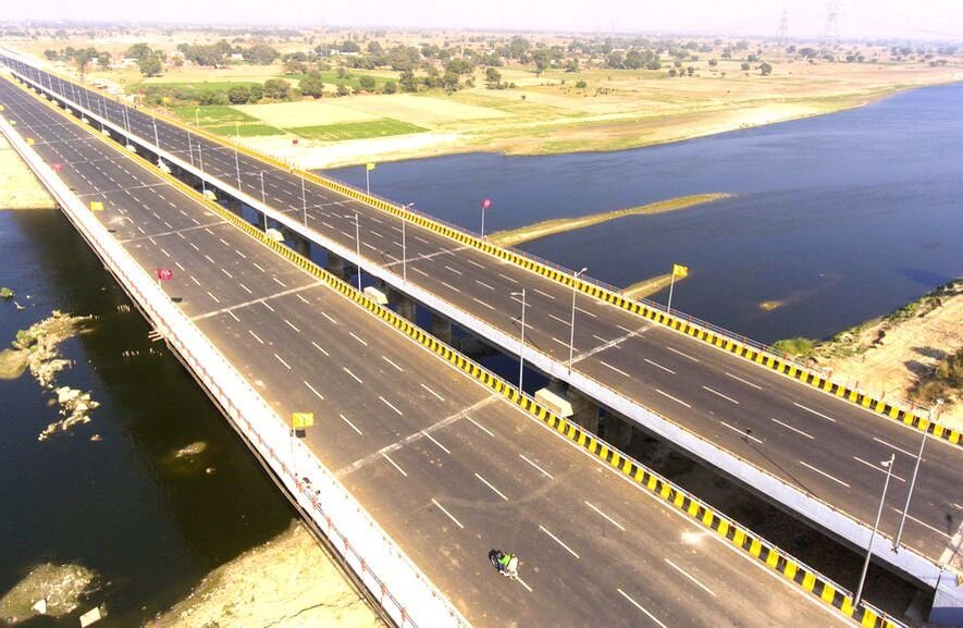
Bridges & Structures
Structural and approach survey for bridges and major crossings, new-build and maintenance alike.
Energy & Transmission Lines
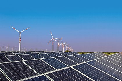
Corridor mapping for transmission towers, lines and green-energy project sites.
Metro Rail & Rapid Transport
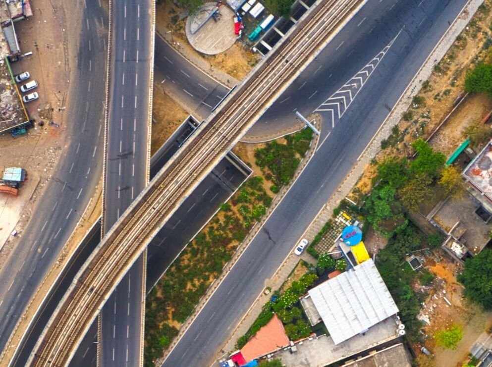
Route survey for metro and other rapid transit corridors, combining LiDAR and photogrammetry.
National Highways
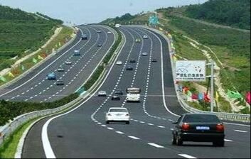
Feasibility to as-built survey across highway alignments, including hill and forested stretches.
City Survey
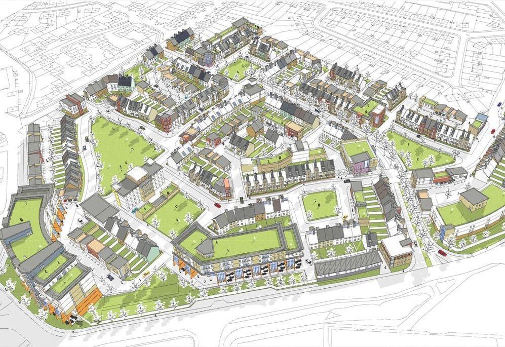
Smart city planning, town survey, water & sewage, urban development and GIS base mapping.
Irrigation Projects
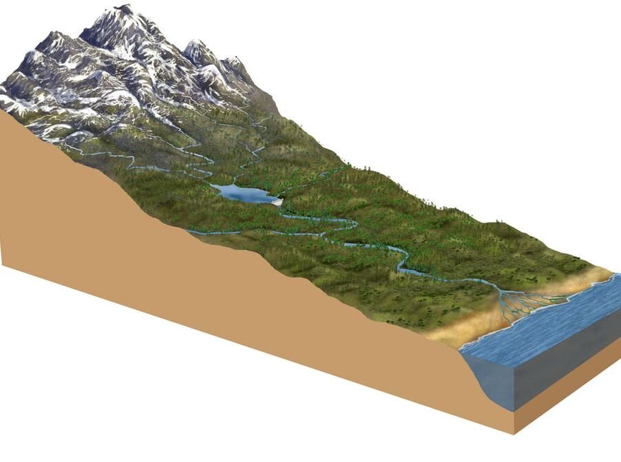
Canal alignment, dam and irrigation infrastructure survey across river and command areas.
Railway Survey
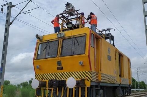
New line and doubling survey through terrain that is difficult to access on foot or by vehicle.
Industrial Land Survey
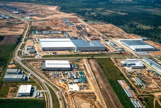
Topographic mapping for industrial parks, SEZs and large factory land parcels.
Data Post Processing & GIS
Point cloud to CAD conversion and photogrammetry processing for partner survey agencies.
Downloadable Resources
Drone LiDAR Survey FAQ
Fly the Survey, Not Just the Site
If your alignment runs through terrain a vehicle can't cover, drone LiDAR gets you survey-grade data anyway. Tell us about your route and we'll scope the right platform for it.