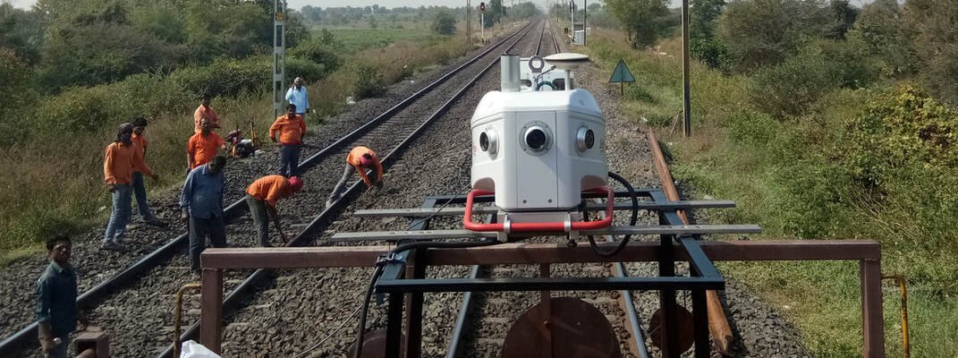
Mobile LiDAR Survey for Corridor Mapping
Vehicle, rail and boat-mounted LiDAR scanning built for highways, railways and hill roads — captured once and measured forever. Every scan becomes a permanent, survey-grade 3D record of the corridor, ready for engineering-quality CAD deliverables.
A Permanent 3D Record of the Corridor
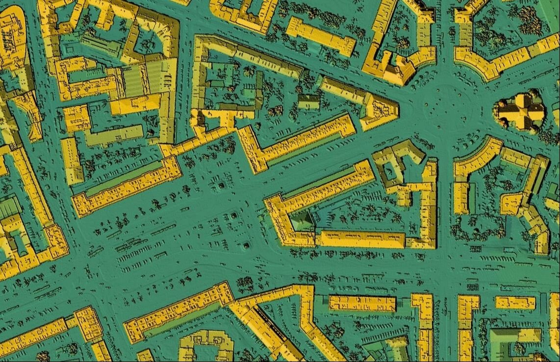
A Mobile LiDAR pass leaves behind a lasting digital record of everything along the route — lane widths, sidewalks, building setbacks, drains, signage and pavement condition can all be measured later, straight from the point cloud, without going back to site. We process every scan to survey-grade accuracy and hand over a clean, engineering-ready 3D CAD file.
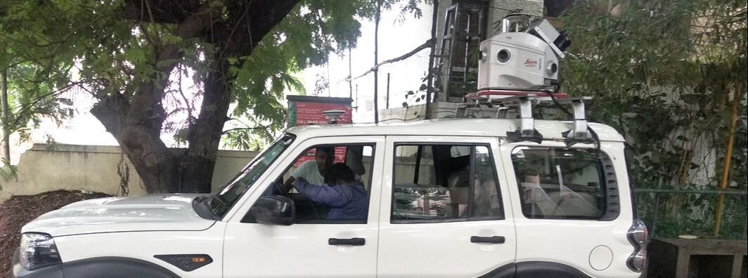
Because the system rides on a vehicle, rail bogie or boat, it moves at traffic speed while recording x, y and z coordinates continuously — turning kilometres of highway, hill road or rail corridor into a navigable 3D model far faster than a crew walking the same distance with a total station.
The productivity gap is large in practice: a 90 km highway stretch that once took roughly 120 working days to survey conventionally was captured with Mobile LiDAR in about five hours of drive time. Mobile LiDAR also holds an edge over static terrestrial scanning and most airborne systems (short of low-flying drones) when survey-grade positional accuracy matters.
Faster than Total Station/DGPS crews
Denser detail than a conventional survey
Safer — no crew standing in live traffic
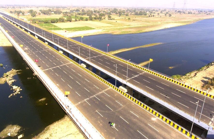
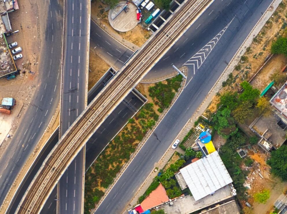
Erode – Karur – Dindigul Railway Doubling Survey, Tamil Nadu · Metro Rail Extension Survey, Chennai
Have a highway or rail corridor that needs mapping?
Get a Free Quote
Leica Pegasus: Two Mobile Mapping System
Terrain elevation matters at every stage of building, road and bridge construction, which is why our core platform pairs a calibrated LiDAR head with a 360° camera rig and a full positioning stack — GNSS receiver, IMU and a distance-measuring instrument (DMI) — so every point lands with survey-grade confidence, not just visual accuracy.
10,00,000+
points/second scan rate
360°
horizontal camera field of view
3,600+ km
surveyed every year
GNSS + IMU + DMI
integrated positioning stack
We work every year with Government agencies, construction companies, consulting engineers and road/rail designers who need survey-grade output turned around on schedule.
Mobile LiDAR Survey Workflow
Ground Control
- DGPS primary control points
- RTK / Total Station secondary control
- Auto Level benchmarking
- GCPs marked on site
Setup & Calibration
- DGPS static base observation
- 10-minute static alignment
- IMU dynamic-run calibration
- 360° camera colour calibration
Data Collection
- High-speed corridor scanning
- Shadow areas filled with RTK/handheld LiDAR
- Bridge & waterway data capture
- Secure same-day data transfer
Processing & Delivery
- Trajectory adjustment to GCPs
- Point cloud colourisation
- LAS-format point cloud export
- 360° panoramic imagery
Field of Application
Bridges & Major Structures
Survey and mapping for bridges, ROBs, RUBs, FOBs and other major structures, for both new-build and maintenance projects.
Metro Rail & Rapid Transport
Corridor survey for new metro rail, MRTS and other rapid transport projects using combined LiDAR and photogrammetry.
National Highways
Feasibility, DPR, TOT, construction and as-built survey delivering CAD, point cloud, ortho imagery and 360° imagery.
City & Town Survey
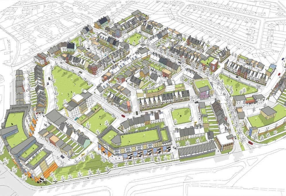
Smart city, town planning, water and sewage, new residential townships, satellite cities, urban development and GIS.
Railway Survey
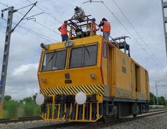
New line, doubling, sidings and yard survey, railway asset mapping, quantity assessment and final location survey.
Data Processing & GIS
LiDAR point cloud to CAD conversion, photogrammetry processing and line-work services for survey agencies.
Mobile LiDAR Survey FAQ
Ready to Map Your Corridor in 3D?
With Mobile LiDAR, you get more than survey data — you get a competitive edge on schedule and accuracy. Talk to our team about your route and how our precision mapping can drive your project forward.