Technology and Solutions
Over 20 years surveying and mapping India's infrastructure, we combine LiDAR, drone, DGPS and bathymetry technology with engineering judgement — so consultants, planners and construction teams get land data they can act on with confidence.
Modern Technology, Engineering Judgement
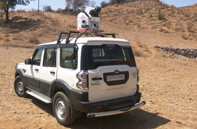
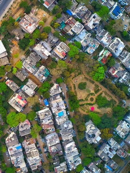
We've moved topographic surveying away from slow, manual methods and into a fast, precise, technology-led process — without losing the engineering judgement that makes survey data trustworthy. Every project draws on the same core toolkit: drone and handheld LiDAR for detailed 3D terrain models, high-resolution drone imagery for rugged or hard-to-reach ground, vehicle-mounted Mobile LiDAR for covering vast corridors quickly, and DGPS with Total Stations for the pinpoint accuracy smaller sites demand.
LiDAR
Drone Systems
Mobile LiDAR
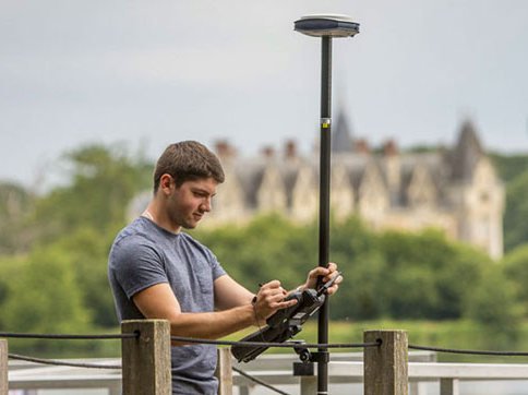
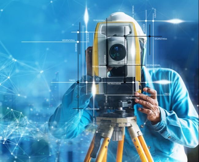
DGPS & Total Stations
Not sure which technology fits your project?
Ask Our TeamEvery Survey Service, One Team
Mobile LiDAR Survey
High-accuracy 3D point clouds and 360° imagery for roads, railways and cities.
Learn MoreDrone LiDAR Survey
Dense point clouds and terrain models for hard-to-reach and green-field sites.
Learn MoreHandheld 3D Scanner
Fast, precise scanning for tight spaces, interiors and rugged terrain.
Learn MoreDrone Photogrammetry
Survey-grade orthomosaics and 3D models from RTK/PPK drone imagery.
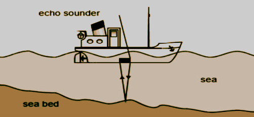
Learn MoreBathymetry Survey
Echo-sounder depth mapping for navigation, dredging and marine construction.
Learn MoreEngineering Surveying
Total Station, DGPS and Auto Level surveying for every project scale.
Learn MoreUnderground Utility Survey
Non-invasive GPR mapping of buried pipes, cables and utilities.
Learn MoreDrone Data Processing
Orthomosaic, point cloud and DEM/DSM processing from drone imagery.
Learn MoreLiDAR Data Post Processing
Geo-referencing, classification and topographic drawing across every LiDAR platform.
Learn MoreApplications
Architecture & Engineering
Detailed topographic base maps for durable, well-planned structures.
Construction
Accurate data that keeps planning, cost and schedule on track.
Environmental Monitoring
High-resolution insight for sustainable planning and resource management.
Infrastructure Development
A solid data foundation for roads, pipelines and utility networks.

Ready to Put This Technology to Work?
Whatever the scale of your project, our team can match the right survey technology to it. Get in touch and let's talk about what you need.